Welcome to the Air Tractor® Dealership for Africa.
SINCE
1978
Accelerating aerial application in Africa.
IMPACT
Billions of dollars in beneficiary value generated through successful aerial application deployments
0
+
Aircraft Sold in Africa
0
+
Aircraft Sold Globally
MILLIONS
of lives changed for the better
Aerial Application, Enabling Nations, Communities & Individuals to prosper
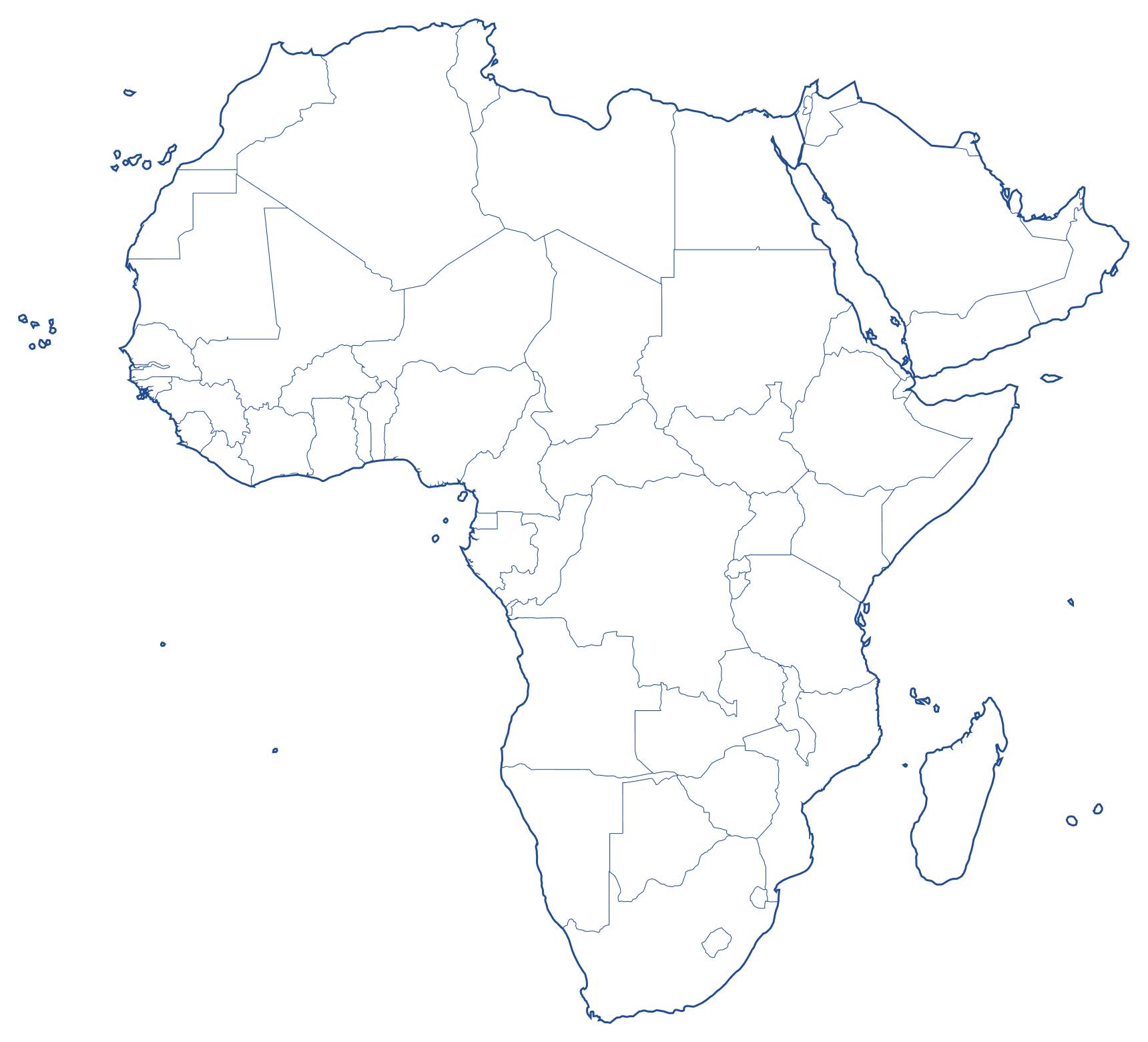
Sales territory
Africa & the Middle East
OFFICES
Mauritius HQ – United Arab Emirates – South Africa – Ivory Coast – Ethiopia – Nigeria
SECTORS
Agriculture
Apply herbicides, fungicides, pesticides and growth regulators with speed and efficiency at scale
FIRE FIGHTING
Successfully Battle Wildfires with Agility and Precision on a Cost Effective Platform
VECTOR CONTROL
Versatile & Cost Effective Solution for Comprehensive Pest Management at Scale
MINING
Find Hidden Minerals with Advanced Exploration Technology Cost Effectively at Scale
Fuel Logistics Supply
Excellent Solution for Remote Long Range Fuel Supply to vital Areas in Desperate Need
Oil & Gas
Respond to Oil Spills with Speed and Responsibility keeping our Oceans Clean
Surveillance
HOW we do IT for you
Leverage our 40+ years of experience to achieve your goals.
Unrivalled Sales & Support
In-depth product knowledge, dedicated post-sale support, and specialised services in aircraft imports, exports, and navigating aviation regulatory landscapes.
Parts Distribution
Expert support, rapid Africa deliveries, genuine Air Tractor® parts, with strategic locations.
World-Class Pilot & Engineering Placement & Training
Global Flight Safety® & SACAA Approved, FNPT II simulator programs, & expert-led pilot & PT-6 turbine & Air Tractor® airframe engineering courses.
Dependable Maintenance across Africa
Reliable Air Tractor® & Pratt & Whitney turbine maintenance, Africa-wide coverage, certified technicians, & prompt service—all under one roof.
Financial, Insurance, & Leasing Solutions
Custom financing, personalised insurance, flexible leasing, & expert financial guidance for your Air Tractor purchase.
Cutting-Edge Technology Integration
Seamless hardware & software integration, precision AG tools, Digital Aerial Application Management & expert support for optimised operations.
Largest Aerial Applicator Network and Conference on the continent
Africa's premier Air Tractor® network, a hub for industry thought leadership, exceptional networking, and access to cutting-edge trends and tech.
Successful Government Tenders
Proven success in multiple government tenders, a trusted partner for governments and regional bodies, and a team committed to delivering value.
Market Opportunity Insight per Country
Digital database, linking available aircraft resources with opportunities, facilitating strategic partnerships and guidance on local market conditions.
Visionary Leadership Team
Forward-thinking leadership, proven industry success, commitment to innovation, and an empowering culture—all in one organisation.
Flight Safety Solutions
Aircraft inspections & operational safety audits, with risk assessment, incident response plans, and regulatory compliance.
THE LEADERSHIP TEAM
A professional team of specialists helping you adopt and benefit from aerial application technology through a one-stop-shop approach.

Matt Kritzinger
Chief Executive Officer
Matt Kritzinger is the CEO of AG AVIATION GROUP Ltd and AG4 GLOBAL TECHNOLOGY SOLUTIONS (CY) Ltd, carrying forward a family history in agricultural aviation dating back to 1978. His leadership at AG Aviation Group has been instrumental in accelerating the adoption of aerial application in Africa, while his vision for AG4 Global Technology Solutions is reshaping the way in which humans, aircraft, and systems engage facilitating greater efficiency gains for customers. Matt's stewardship, together with his esteemed team, is highly respected in the industry, charting an impressive course of innovation, progress, and service excellence.
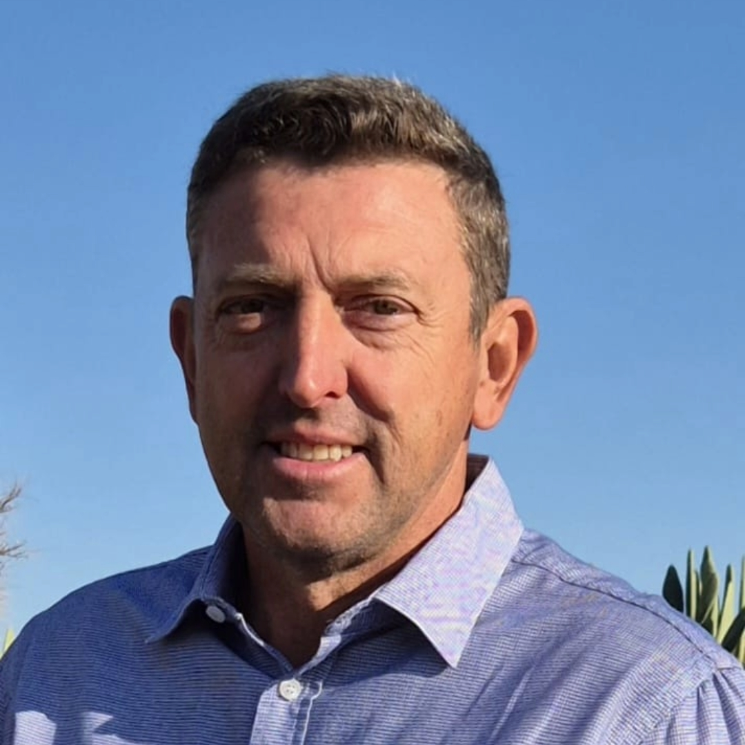
Walter Bold
Deputy CEO

Graham Wells
Chief Commercial Officer
Graham Wells is a highly accomplished, results-driven executive with an exceptional 20-year track record in the aviation industry. With a solid foundation in both finance and business management, Graham brings a unique blend of expertise to his leadership position. As Chief Operating Officer (COO) of Ag Aviation Africa LTD, Graham plays a pivotal role in the company's strategic planning, operational efficiency, and overall growth. Graham is known for his ability to build strong relationships with stakeholders, customers, and industry partners, and his extensive experience in the industry has provided him with a deep understanding of the complexities and challenges that the agricultural aviation sector faces.

Danielle Booysen
Chief Operating Officer

Anthon Botha
Chief Strategic Officer
Dr Anthon Botha is a physicist, strategist, and future thinker. Anthon consults in the realms of science, engineering, technology, and innovation. He spends a lot of time imagining the future, creating images for his clients of what is to be. His approach is to make strategy practical, not by simplifying the world, but by finding means to think in very complex environments. He sees knowledge as the new currency and constantly seeks to understand how we will live, work, play, and transact in future

Ted Whitton
Chief Technical Officer
Edward Whitton is CTO and founder of AG4 GLOBAL TECHNOLOGY SOLUTIONS (CY) Ltd, and CEO of NOVADESIGN FZE, with over 40 years of Industrial and Safety related software and systems design experience. Developing and implementing systems ranging from Ruggedised PCs in Fire Engines and command and control systems in the UK, to Industrial strength Toyota parts e-commerce systems in Saudi Arabia. Edward has a proven track record of delivering innovative systems around the globe and is now focused on bringing innovation to AG by revolutionizing safety in the Aerial Application Industry.
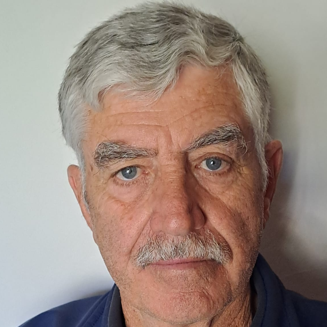
Koos Kieck
Chief Flight Instructor
Koos (H.J.) Kieck, a veteran aviator with a lifelong passion for flying, has spent over five decades dedicated to aviation. Married to Linda for 51 years, they are proud parents of two sons: Erich, and Carl.
Koos's aviation journey began as a student pilot in the South African Air Force (SAAF) in 1968, where he earned his wings on December 5, 1969. Over the years, he piloted a variety of aircraft including Harvards, Impalas, and Mirage 3s, eventually becoming an Air Warfare Instructor (PAI) and an instructor in 1972. After a distinguished career in the SAAF, Koos retired in 2009.
Post-retirement, Koos joined Aerosud as chief instructor on Impalas at Hoedspruit, training Gabonese pilots for their Air Force. Following this tenure, he transitioned to WOF/FFA as a fire bomber pilot, operating Dromader and Thrush aircraft before spending the last five years of his firefighting career on the Air Tractor 802. Koos retired from fire fighting at the end of 2022, having contributed significantly to wildfire suppression efforts.
In his current phase of life, Koos dedicates his time to giving flying instruction wherever he can, motivated by his deep gratitude for the opportunities aviation has provided him. As Chief Flight Instructor at AAFA, he eagerly looks forward to meeting new aviators and continuing to share his wealth of knowledge and experience in the aerial application field of aviation.

Nicola De Jager
HoD Human Capital Management
Nicola currently serves as the HR Manager at Ag Aviation Africa LTD. Nicola is a seasoned Recruitment and HR professional, with an extensive career spanning over 14 years, both in the UK and South Africa. Educated at the University of Cape Town, Nicola holds a degree in Human Resources and Labour Relations Management, as well as a Postgraduate degree in Marketing and Management. Throughout her diverse career, Nicola has effectively navigated a spectrum of industries, including Finance and Banking, Non-profit, academia, and most recently, the aviation sector. Her experience and skill set span full-cycle recruitment, employee engagement, performance management, compensation analysis, and strategic workforce planning. Nicola’s journey as an HR professional is a testament to her unwavering dedication to enriching workplaces, nurturing talent, and driving team success.

Henry Nel
HoD Maintenance
Henry currently holds the position of Operations Manager at Ag Aviation Africa LTD. With a strong foundation in the South African Air Force (SAAF), Henry commenced his journey as an aircraft mechanic and flight engineer. His professional career spans over 22 years and encompasses a diverse range of roles, including positions as a Field Services Engineer, Chief Engineer, and of AME Inspector. Specializing in Aircraft Maintenance Engineering and Flight Engineering across both fixed and rotary-wing aircraft, Henry's expertise is both comprehensive and versatile. Henry is passionate about knowledge sharing and training. He has successfully completed his instructor's rating, allowing him to pass on some of his knowledge and expertise through Ag Aviation’s Flight Academy. Henry's dedication to fostering relationships, meeting customer requirements, and nurturing aspiring engineers underscores his passion for propelling the aviation industry forward.

Eloise Botha
HoD Spares

Stephane Durandiere
West & North Africa Rep
Nadir Kanoun
North Africa Rep

Helga Amami
HoD Finance
Helga Amami is the Financial Manager at AG AVIATION GROUP Ltd, with an impressive track record of over 12 years of accounting experience. Helga is a member of the South African Institute for Business Accountants (SAIBA) and holds an affiliation with the Association of Chartered Certified Accountants (ACCA). Demonstrating an unwavering commitment to ongoing learning, Helga consistently enhances her skills to maximise efficacy, all while prioritizing integrity and upholding professionalism in every facet of her responsibilities. Collaborating closely with the AG Aviation team, her efforts are dedicated to realising the organisation's vision of expediting the adoption of aerial application throughout Africa.

Elsabe Carstens
HoD Sales & Training
Elsabé started her career in aviation 17 years ago. She found a true love and passion for the industry and worked in different sectors of aviation. Elsabé is a career-driven woman and is a perfectionist when it comes to her quality of work. With her bubbly personality and great sense of humour, she builds long-lasting relationships with the clients she works with. She joined Ag Aviation Africa in 2021 and assisted our COO with Sales Logistics and set up the Flight Academy. Now she is the Office and Flight School Manager at our Cape Town base and shows great leadership qualities and creates a professional working environment.
Kobus Hartman
HoD Chemical Science

Estelle Jordaan
HoD Executive Administration
Presently, Estelle holds the position of Executive Assistant to Ag Aviation Group's CEO, Matt Kritzinger. With more than 20 years of experience in administrative and executive support roles spanning various industries, including property, real estate, and aviation, Estelle boasts a wealth of expertise. Her strength lies in seamlessly merging project management principles with administrative functions. This skillset, coupled with her unwavering commitment to precision and organisational excellence, paves the way for the successful execution of complex projects. Leveraging her project management acumen, Estelle lends her support to the CEO and other Senior Executives in diverse and multifaceted endeavours. Throughout these initiatives, she ensures the timeous completion of tasks, optimal utilisation of resources, and comprehensive stakeholder communication at all times.

Mitch Spall
Grade III Instructor
Over four decades of experience working with the most talented people in the business.
Our HISTORY
1978
First commercial aerial application operation.
2005
Adoption of Air Tractor aircraft.
2011
Official Air Tractor® dealership for the whole of Africa.
2014
International expansion drive.
2023
Global multinational headquarters established in Mauritius.
Our PARTNERS























WHAT OUR CLIENTS HAVE TO SAY
“The Air Tractor® AT-802 is built for battling fires large and small—not only as an initial attack firefighter, but also for extended duties supporting ground crews. It combines agility, performance, high reliability, and pinpoint accuracy with a versatility that allows it to operate where other firefighting aircraft can’t.”
“The Air Tractor® solutions have transformed our farm, enabling us to generate higher crop yields and creating new jobs for our community. We are grateful for the positive impact of the product and solutions offered by the African dealer.”
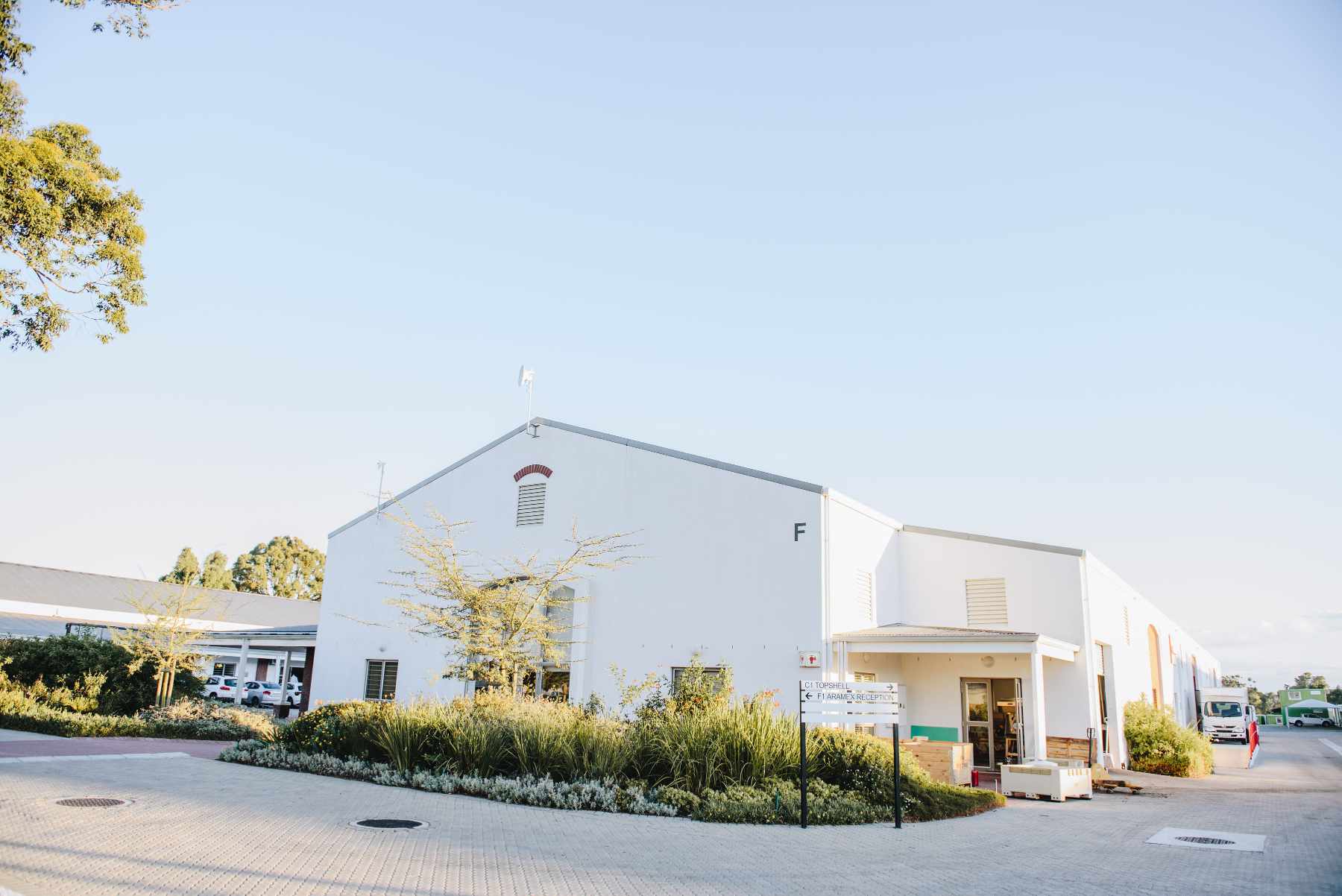
Training facilities and parts dispatch for Africa
